
Photo Credit
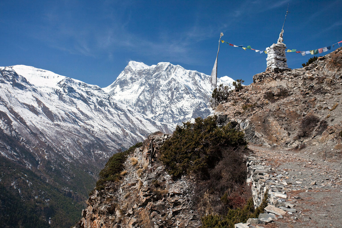
The Annapurna Circuit once was a three-week journey through the pristine valleys and villages of the Annapurna range, but the construction of two roads encroaching up both sides has shrunken the route significantly. When the final road is complete, the date of which is unknown and consistently delayed, the roadless section of the Annapurna Circuit may be reduced to as few as five days. What does this all mean?
First, the Annapurna Circuit isn’t lost yet. Depending on how far up the roads you decide to start and finishing walking, the abbreviated version can now be completed 8–17 days. As of 2015, on the Besisahar side (east) the road up the Marsyangdi Valley reaches Manang at 3,540 meters. On the west side of the Circuit the road extends up the Kali Gandaki Valley to Jomsom and jeeps and flights are available from there. There still remains a number of roadless days (approximately 8) but they are decreasing.
Length: 8–21 days (the grand loop from Besishar to Pokhara takes approximately 17–21 days).
Difficulty: Moderate to challenging.
Starting elevation: 760 meters (2,493 feet) at Besisahar up to 3,450 meters (11,319 feet) at Manang, depending on your starting point.
Peak elevation: 5,416 meters (17,769 feet) at Thorong La Pass.
Elevation profile: via Adventure Alternative.
Guiding: Recommended but not required.
Accommodations: Teahouse.
When to Go: Fall peak trekking season is from October to early December; spring trekking season is in March and April.
Access: Pokhara, a 30-minute flight from Kathmandu or full day by ground transportation.
Paperwork: The Annapurna Conservation Area Permit (ACAP) and TIMS card can be purchased from the Nepal Tourism Board in Kathmandu or Pohkara or through a registered guide; each requires two passport photos.
Trekkers on the Annapurna Circuit now must decide where to begin. Most start on the Besisahar side and traditionalists walk from Besisahar to Chamje (2 days) along the dirt road. This stretch is beautiful—it meanders up the Marsyangdi River valley with the big mountains lurking behind—but trekkers compete with a stream of jeeps and busses. On the other side, the road starts around Jomsom and the walk from Jomsom to Pokhara takes 4–6 days. Most people add days to the Besisahar side of the Circuit because it’s more scenic and the road is less intrusive.

A great way to increase the number of roadless hiking days is the side trip to Tilicho Lake, one of the world's highest lakes at 4,919 meters (16,138 feet). From Manang it’s one day to Tilicho Base Camp and a few more hours to the lake itself. A rough, challenging trail cuts directly from Tilicho Lake to Jomsom but requires at least one night of self-sufficient camping (and it reaches an altitude above 5,000 meters). A guide is highly recommended in this area: the trails are rough and there is a small military base near the pass to Jomosom that must be avoided.
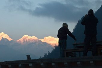
When assessing the Annapurna Circuit as it stands today, It's important to remember that development along the Annapurna Circuit occurred long before the roads were built. The influx of trekkers over the last thirty years led to significant infrastructure, teahouses, and small communities supported by trekking. Other treks in Nepal offer more of a wilderness experience, but the teahouses on the Annapurna Circuit are a luxury that facilitate weeks of trekking while carrying only a fraction of the supplies.
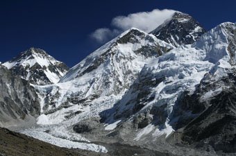
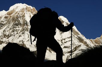
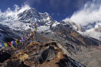
For trekkers, it’s likely that if you would have enjoyed the Circuit ten years ago, you will enjoy it today. The roadless stretch is still one of the most magnificent alpine trails in the world and the mountains themselves remain untouched. If this is the trek you choose, bask in the majesty of the Annapurna Range and don’t allow anything to detract from your experience.

With the encroachment of roads up the Annapurna Circuit, we have heard references for years about trekkers making their own way in certain sections. This appears to have formalized with waymarked routes called Natural Annapurna Trekking Trails (NATT). According to the British Mountaineering Council, “They cover the traditional circuit of the Annapurnas massif, from Besisahar to the hot springs of Tatopani, and a plethora of diversions and additional options, to the likes of 4900-metre Tilicho Lake and Dhaulagiri’s incredible icefall.”
We have not yet had the opportunity to hike the Annapurna Circuit since the new NATT system was established, but there is a handy online guide that outlines the process. From our research, trekkers returning from the Annapurna Circuit using NATTs have been happy with the results and they have given new life to the route. Of course, this kind of trekking requires due diligence, attention to maps, and great care in making sure you follow the route and stay safe.

Fortunately, the Annapurna Trek was largely spared from serious damage during Nepal’s devastating 2015 earthquake. According to Reuters, less than 1 percent of the route and 3 percent of buildings were affected. Similar to the Everest Base Camp Trek, Miyamoto International, a California-based structural and earthquake engineering firm, was hired after the quake to provide risk assessment of the region (you can read the full July 2015 report here). They concluded that damage was “very limited.” From all indications on the ground, the trek is open for business and operating normally. The nearby Manaslu Circuit Trek was not so lucky and saw much more extensive damage.