Photo Credit
Terje Rakke, Innovation Norway
Terje Rakke, Innovation Norway
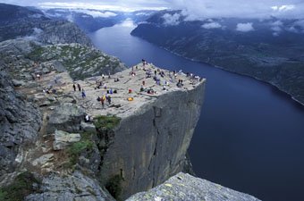
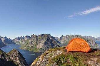
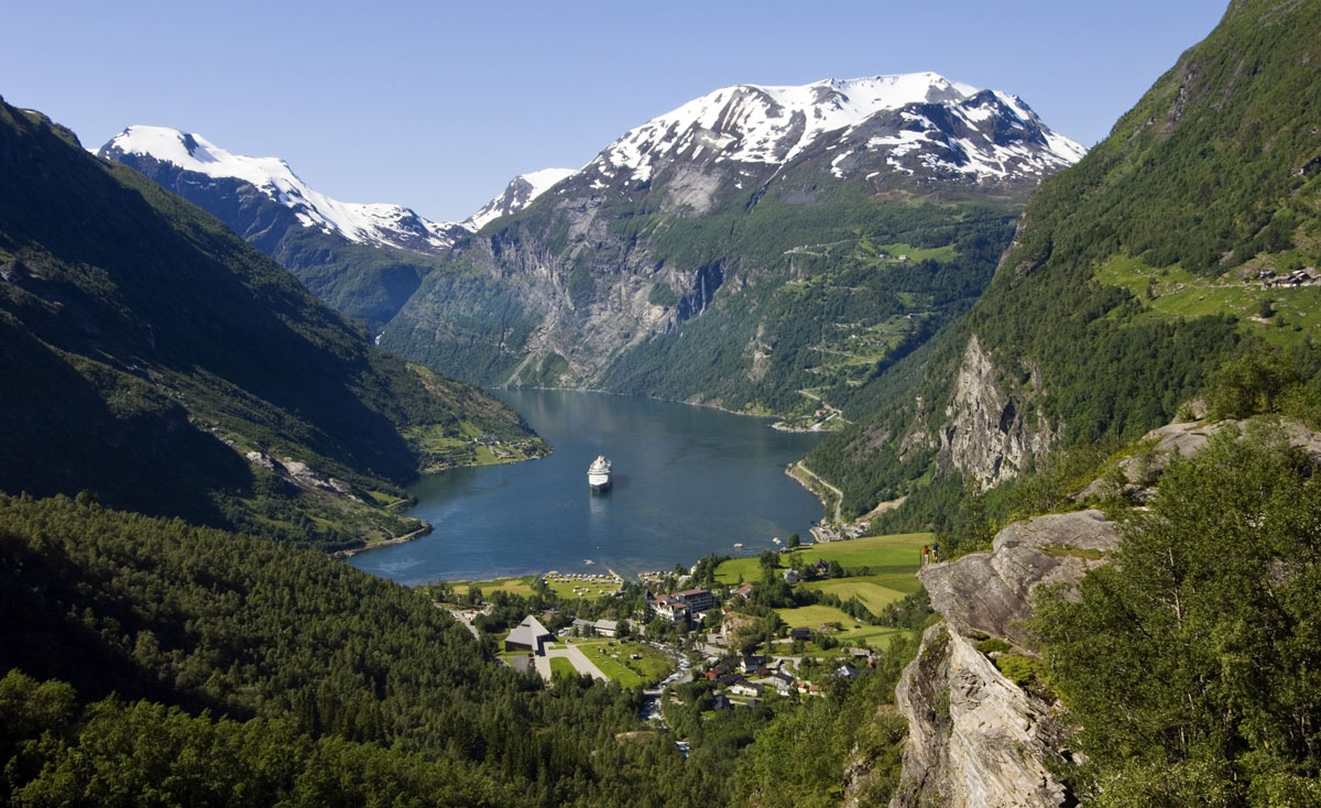
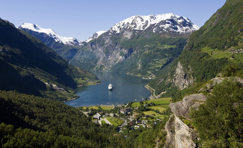
The UNESCO World Heritage Geirangerfjord may be Norway’s single most dramatic stretch of water. It’s particularly narrow and steep with tall surrounding mountains—the closest thing in the country to a “box” fjord. The walls rise up over 1,400 meters above the inland waters of the Norwegian Sea, and for much of the year the surrounding peaks remain capped in snow. In many ways, Geirangerfjord is the quintessential fjord experience (and has the crowds to prove it).
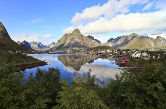
The town of Geiranger at the eastern edge of the fjord is the base for all activities and accommodations. Given the high volume of boats that frequent the Geirangerfjord, it’s not surprising that the town is built-up with tourist infrastructure. Nevertheless, Geiranger is pleasant and the amenities can provide for a nice stopover. In addition to getting out on the water on a ferry or cruise, the Geirangerfjord has a number of terrific hiking options:
Løstad (see map): The best short walk in the area is to the viewpoint at Løstad (1 hour each way), starting from the Vesterås Farm (4 kilometers from the town center). A shorter and easier trail to a lower lookout point at Vesteråsfjellet (20 minutes each way from the Vesterås Farm) splits off to the left.
Skageflå (see map): For those looking to stretch your legs on a half-day hike, a scenic trail skirts the southern edge of the Geirangerfjord from Homlong to the historic farm at Skageflå (2 hours each way). Skageflå is a popular excursion but most people take a boat and do the quick walk up from the water; the trail from Homlong offers a unique perspective of the fjord with far less people.
Keipane (see map): For the ultra-ambitious, a challenging hike to the summit of Keipane (1,379 meters; 4-5 hours each way from Homlong) splits off to the left from the Skageflå main trail roughly two-thirds of the way to the farm. The views from the trail to Keipane are good throughout so there’s no shame in hiking up until you feel like turning around.
Editor's Note: Fjord Norway provides an excellent brochure with hiking maps of the Geirangerfjord area.
If you plan on taking steep Highway 63 in or out of Geiranger—or even driving the road as a side trip—make sure to stop at the dramatic Ørnesvingen viewing platform. Located at the 11th hairpin turn high above the town of Geiranger, this stopping point allows for unencumbered views over the fjord, mountains, and “Seven Sisters” waterfalls. The platform can get crowded during peak visiting hours so arrive early or stay late for more solitude.
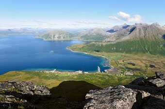
It may not be a hike, but the road up Dalsnibba offers a fantastic view of the Geirangerfjord with the town of Geiranger in the foreground. From the town center, take Norwegian County Road 63 south for approximately 15.4 kilometers, then turn left at the toll road up the mountain. After 4.6 kilometers of twists and turns you will reach the parking area at the summit, which can be chilly and snowy even in the summer. The drive can take 40 minutes or so each way depending on the conditions.

The Geirangerfjord is located toward the northern end of Fjord Norway in the dramatic region of Møre og Romsdal. This slender waterway isn’t the easiest to reach but getting there is memorable in itself.
From the western end of the Geirangerfjord, the regular ferry service departs from Hellesylt and runs to the town of Geiranger at the fjord’s eastern end. The ferry ride covers virtually the entire length of the fjord and accommodates tourists with a slow pace and informative audio commentary. Travelers essentially get the perks of a pricey sightseeing boat but for less money and with a better ambience.
In the northern end of the Geirangerfjord is the famed Ørnevegen, or Eagle Road, which winds its way from sea level up to over 620 meters via 11 hairpin turns. Perched at the top on the final turn is the renovated Ørnesvingen viewing platform with huge panoramic spreads of the fjord. Whether or not you are continuing onward on the road, the drive up and scenic overlook are well worthwhile. For those traveling from farther distances, the coastal cities of Bergen and Ålesund are the main ports for Geirangerfjord cruises and both have airports (Ålesund is the closest).