
Photo Credit
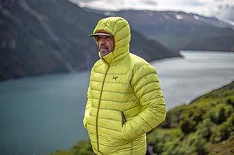
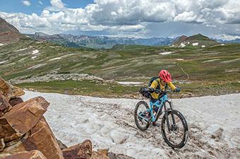
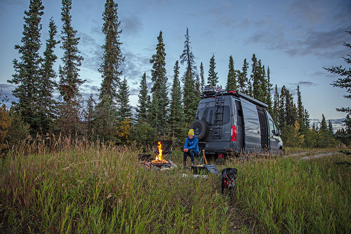
Editor's note: In the fall of 2021, our good friends and gear testers Brian and Sasha embarked on a one-year sabbatical from their careers and hit the road in their van named Rhino (with their dog named Otis). The goal: to go wherever the wind blows, with their bikes, skis, climbing gear, and running shoes in tow. The following is the first entry in a multi-part series titled "A Year on the Road."
“Oh, what a life! We cannot wait. To be in that arctic land, where we'll be the masters of our fate, and lead a life that's grand!... We’re leaving! Yukon Ho! – Bill Waterson (Calvin & Hobbes)
Brian and I were less than a week into our adventure north when, during a brief phone call, my dear friend’s children insisted I read their favorite poem, "the Yukon Song." Though written for children extolling the virtues of leaving civilization and parental rule, we found the sentiment shockingly fitting as we shed our adult responsibilities of work and routine for the year. Not to mention, we had just crossed into Yukon Territory. With just a few days under our belts, we were already well-established in that magical world where you don’t know the day of the week, often wake up well after sunrise, and let your phone go missing for days. We were on the road.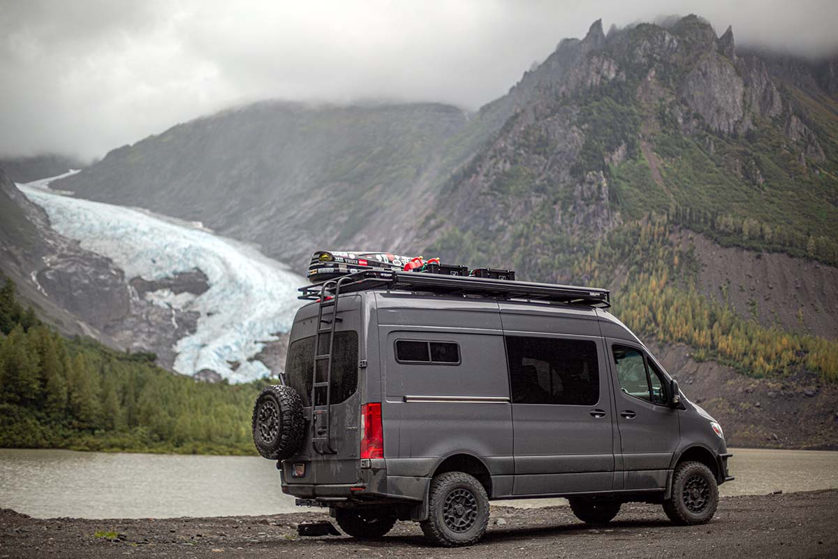
Giddy with anticipation, we reveled in the ocean spray on our faces as we gazed at the layers of forest before us, shrouded in coastal fog such that only a few trees appeared in focus. Though there are many ways to get to the Yukon, we had long planned to start our journey with a 16-hour ferry from the tip of our home of Vancouver Island to Prince Rupert on British Columbia’s northwest coast (located within the traditional territory of the Ts'msyen First Nations). 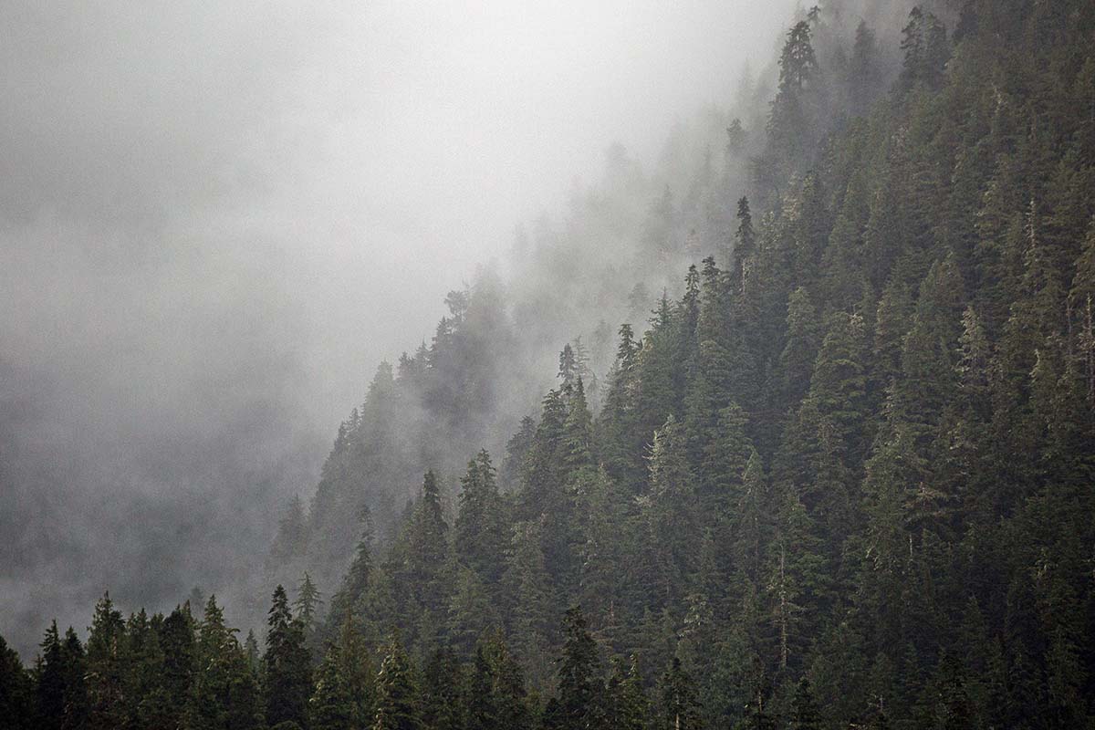
We were delighted by our decision to kickstart our year in this way, continually awed by quintessential west-coast moody skies and mist, First Nations' fishing communities, red-roofed lighthouses, singing bald eagles, and too many whales to count. Thankful that the days were still relatively long in early September, we remained mesmerized by the changing weather and scenery as we sailed through the Inside Passage. We stayed on the deck until the drizzle turned to rain, and then lingered by the lounge's front windows until it became too dark to make out the looming mountains. In and of itself, this first step in our journey is worthy of any bucket list. It had us excited about what was to come. 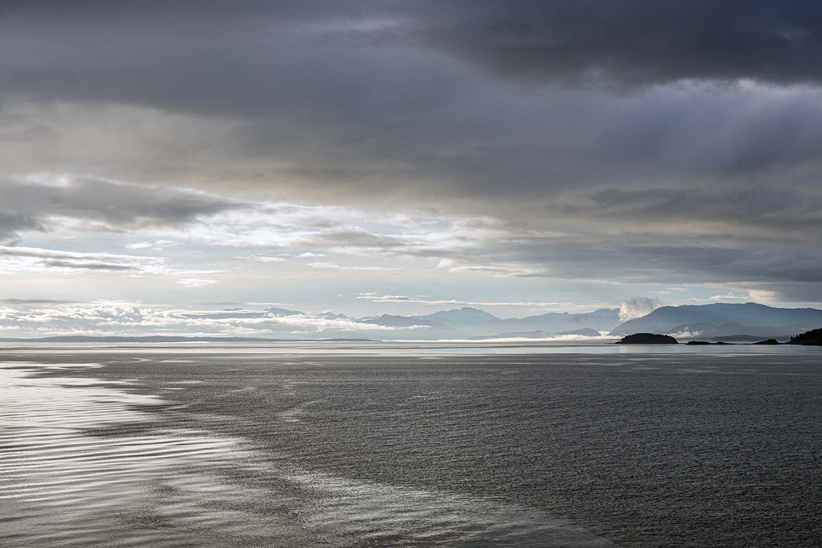
Exhausted but elated, we arrived in Prince Rupert just before midnight. The next leg of our adventure started in this port town, where we’d drive the Yellowhead Highway (BC Hwy 16) until it met the southernmost point of British Columbia’s Highway 37. Highway 37 goes by many names, including the Dease Lake Highway, Stikine Highway, and Stewart-Cassiar, which has become the most common moniker. No matter what you call it, British Columbia’s northernmost highway is isolated, rugged, and beautiful. 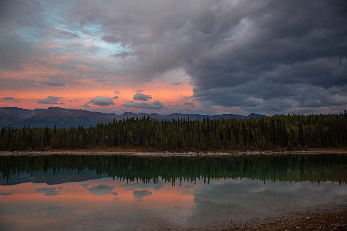
As we drove into northern BC, the landscape transformed from misty layers of forest to glaciated mountain peaks, then to dry plains and the mineral-hued hillsides of the Spatsizi Plateau. Just before meeting the Yukon border, the Stewart-Cassiar brought us to Boya Lake, an island-studded lake with white sands that seemed to be plucked from the Caribbean tropics. There are too many details and highlights from this 750-kilometer stretch of highway to recount them all, and Brian prefers to let the photos do the talking regardless.
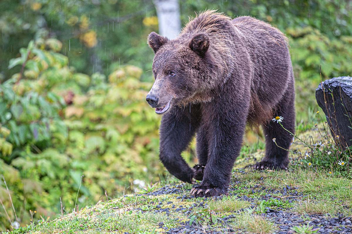
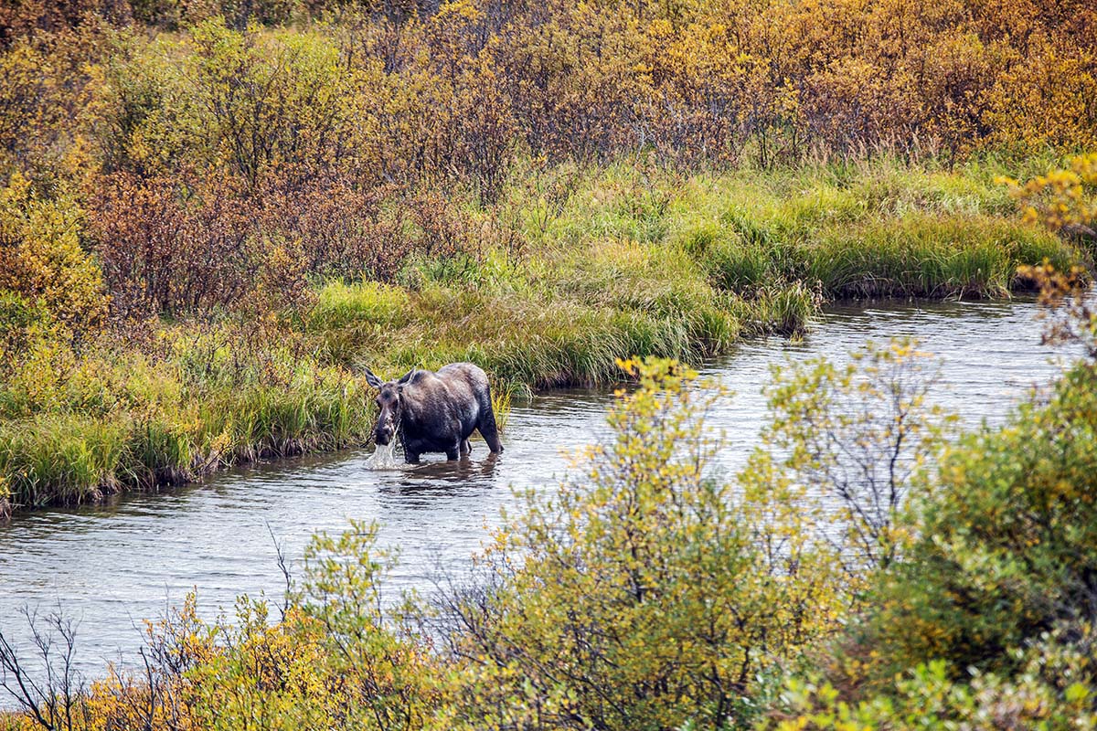
Some of our favorite mental snapshots include moss-covered lava fields reminiscent of Iceland, stunning glaciers, and a mother moose and her calf. But perhaps the most memorable part of the journey happened upon arrival at Meziadin Lake campground, when a healthy grizzly bear casually sauntered into our campsite. Delighted, we watched from the safety of Rhino—our dog Otis especially fascinated—as the bear clumsily fell to his butt, pulled at a berry bush, and plucked berries from each branch. We later learned he was a 3-year-old male and that he, his mother, and two siblings lived in the area. This served as a reminder that he was the true inhabitant of this wild land, and we were mere visitors—something that remained in the forefront of our minds as we continued north.